With over 19 years of experience in the Land Surveying Industry, we are the experts you need to take care of your home or business. We can handle all of your land surveying needs. We treat your home as we would treat our own. Give GLS Surveying, Inc. a call today!
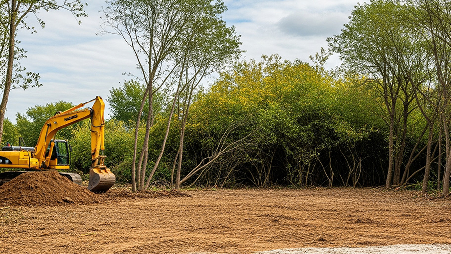
Broken Spur Ranch provides Skid loader and excavator work. Also tractor work. Moving and halling materials. Give us a call or click for an estimate today
A land survey can take anywhere from a few hours to a month or more, depending on the size of the property, the type of survey, the property’s accessibility and topography, and the availability of historical property records. A simple boundary survey to determine a fence line can be completed in a day while surveying 50 acres of undeveloped woodlands may take weeks or longer.
A land survey defines and records the physical aspects of a property, including its boundaries, dimensions, easements, features, and sometimes topographical information. In contrast, a land appraisal determines the property's monetary value. While an appraiser will often consult a land survey to understand the property's physical specifications, the survey itself does not determine the land's value.
Depending on the type of land survey, the report will mark the boundaries of your property, the topographical changes of the landscape, as well as major natural and added structures to the plot. A more detailed survey, like an as-built survey, will note the measurements of the structures and landscape following major construction. A topographic survey will also help your contractor determine the cost of land development projects.
ALTA/ACSM surveys are the most comprehensive type of land survey and, as such, tend to be the most expensive. These surveys have standardized guidelines and reports and are used in many kinds of real estate transactions to ensure consistent and accurate information is available for properties.
A land survey includes the layout of a single property, including precise measurements and to-scale drawings of boundary lines, land improvements, and sometimes other features, like topography and drainage information. A plat map includes the layouts and boundary lines of several adjacent plots and basic structure measurements. Surveys are normally more valuable for homeowners and buyers, and plat maps are for governmental use.
The Scribner, NE homeowners’ guide to land surveying services
From average costs to expert advice, get all the answers you need to get your job done.
Wondering whether you need a land survey or a plot plan? Learn about the differences between the two, when to do each, and what information they provide.