



Top-rated land clearing pros.

Get matched with top land clearing pros in Durant, MS

Enter your zip and get matched with up to 5 pros

Need a pro for your land clearing project in Durant, MS?

Select your specific project to find the pro for you.

Find Land clearing pros in Durant

Avatar for Dumpster Dog
Dumpster Dog
5.0(
10
)
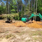
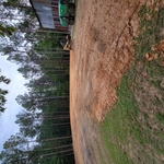
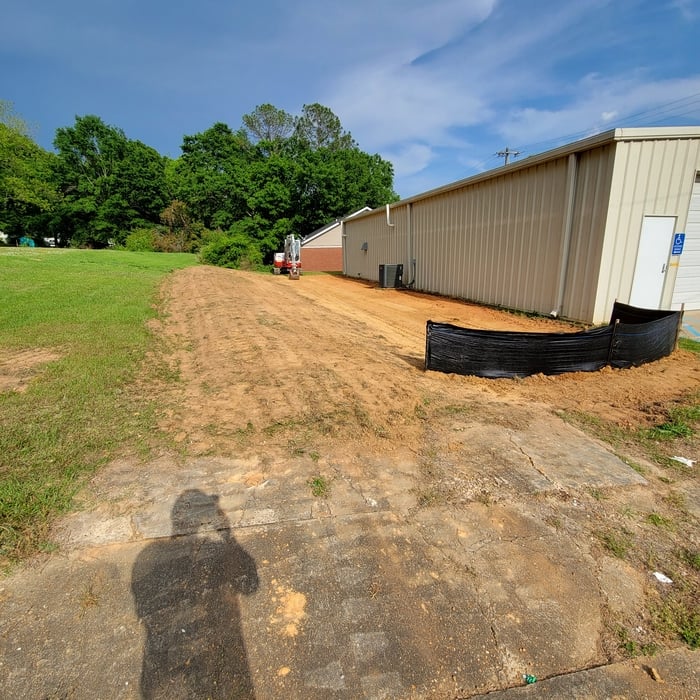
Building Site - Preparation and Clearing

Serving Durant, MS and surrounding areas

Approved

In business since 2023

Free estimates

Credit card accepted

"This is hands-down the best company Iâ  ve ever seen theyâ  re quick to respond. They do what they say theyâ  re going to do for the best price."

Junk Removal
Junk Removal
Junk Removal
Junk Removal
Junk Removal

+16

Response time10 hrs
50 neighbors recently requested a quote
Recommended by77%of homeowners
Avatar for Thigpen Septic Tank Service
Thigpen Septic Tank Service
4.7(
55
)
Building Site - Preparation and ClearingBuilding Site - Preparation and Clearing - For Business

Serving Durant, MS and surrounding areas

Credit card accepted

"Very professional service. Price was as quoted and less than local competitors. Showed up a little late but contacted us to let us know he was running behind first. Took about an hour to complete the work. Would definitely use them again."
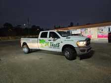
Truck
Truck & Jerrys
Truck door & Jerrys
Truck
Additional Photos

+5

Recommended by96%of homeowners

Showing 1-10 of 30
Land Clearing Services questions, answered by experts

A few different types of land surveys can help determine certain features and boundaries of your property. These include:

  • Boundary surveys describe the actual borders of a property. These are generally required when trying to get construction permits issued. 

  • Location surveys provide much of the same information as a boundary survey but also include in-depth information about any improvements made to your property. 

  • Mortgage location surveys are usually required by lenders and title companies before financing or offering an insurance policy. 

  • Site-planning surveys are done before applying for building permits and can be issued before any major home improvements. 

  • Topographic surveys provide a formal map of land elevations. It can also describe the location and size of natural features and any land improvements.

Property lines, building locations, and potential encroachments are mapped.

This is fairly rare, but sometimes the local government or a group like a historical society will label a tree as a landmark, or historical item. These designations almost always come with a small, on-site plaque for identification, but you should also be able to look up protected trees in your area on a city website or similar list. If the tree in question is a landmark, call your local government and ask how to proceed before making any plans.

Detailed mapping of elevation changes and natural features on the property.

Professional well contractors may use electromagnetic mapping to look for places with a high likelihood of water. Water access can vary significantly, even on the same property, so it can be difficult to know where to drill if you don’t have specialized tools to look for water.

The Durant, MS homeowners’ guide to land clearing services

From average costs to expert advice, get all the answers you need to get your job done.