



Ruff It Up Construction
Building Site - Preparation and ClearingBuilding Site - Preparation and Clearing - For Business
Serving Olivia, MN and surrounding areas

*The Angi rating for Land Clearing companies in Olivia, MN is a rating based on verified reviews from our community of homeowners who have used these pros to meet their Land Clearing needs.
*The HomeAdvisor rating for Land Clearing companies in Olivia, MN is a rating based on verified reviews from our community of homeowners who have used these pros to meet their Land Clearing needs.
Last update on August 23, 2026
Serving Olivia, MN and surrounding areas
Serving Olivia, MN and surrounding areas
Serving Olivia, MN and surrounding areas
In business since 2000
Free estimates
Thompson Excavating, LLC, is the premier professional company offering residential services to our clients in the Taunton area. We are known to pay exquisite attention to detail while making your satisfaction our number one priority. Please call us today to schedule your appointment with Minnesota true professionals at work for you!
From average costs to expert advice, get all the answers you need to get your job done.
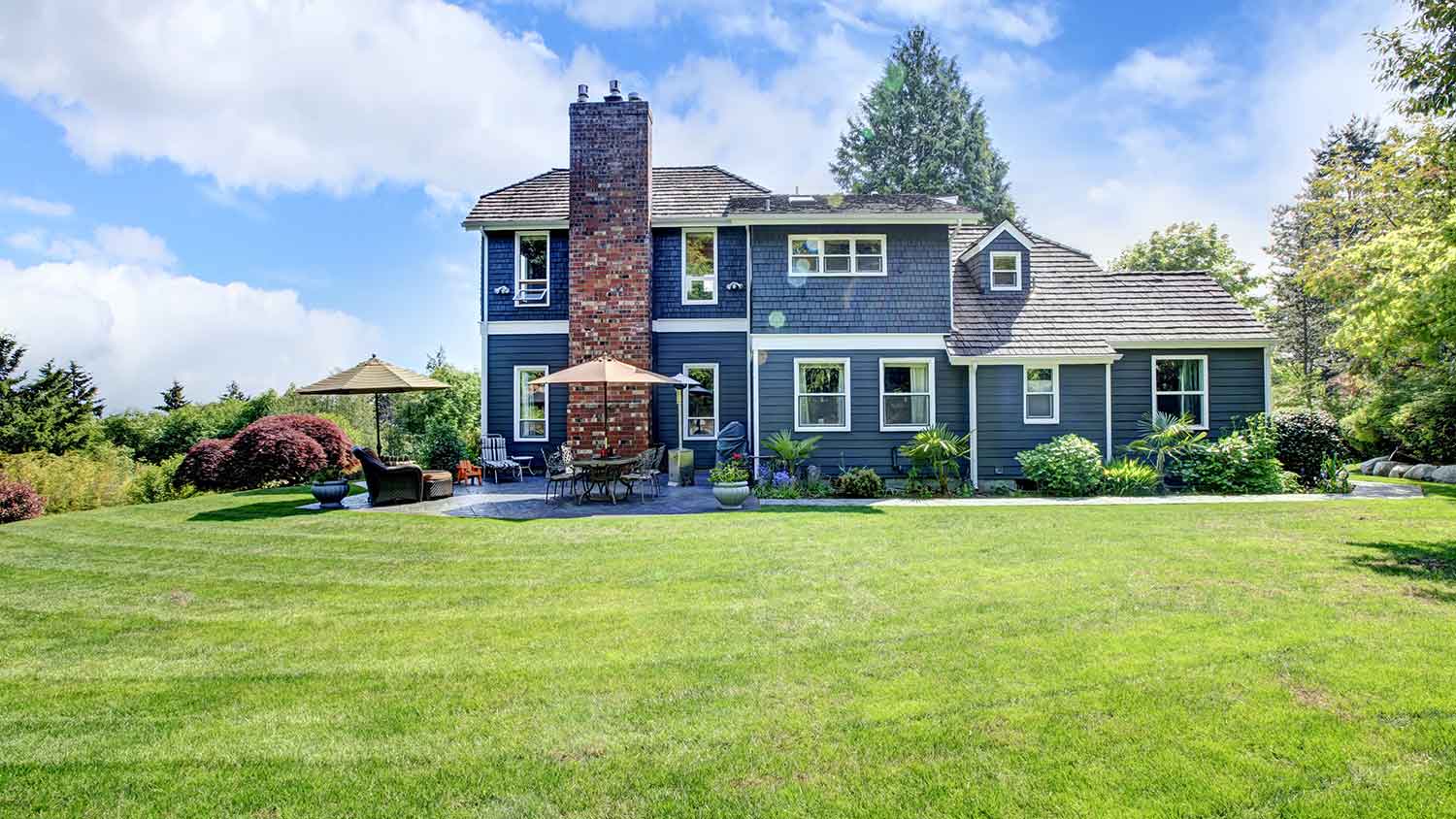
Just bought a plot of land and need to get it build-ready? Learn how much it costs to clear land to gauge your initial budget before you break ground.
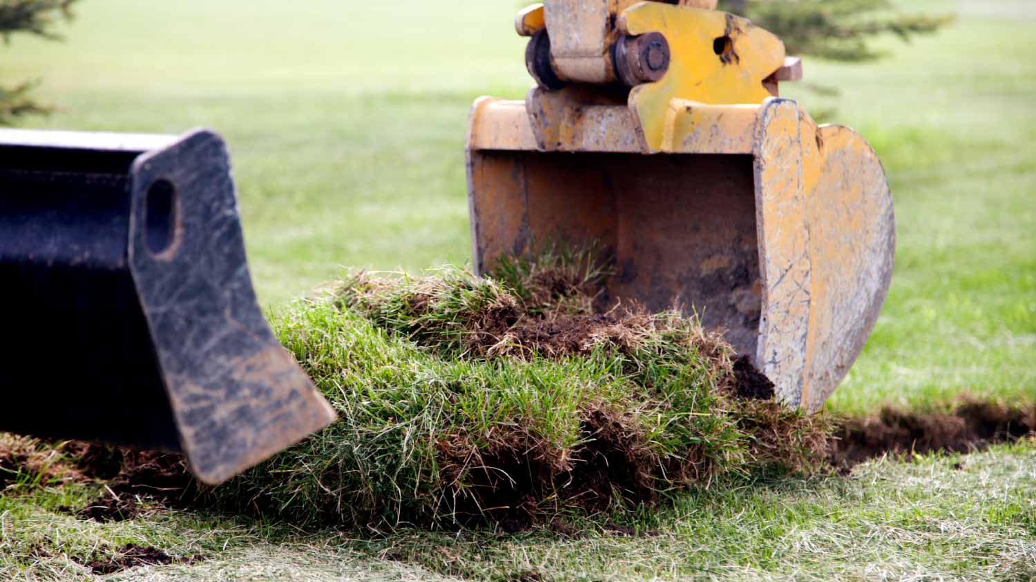
Discover site preparation cost estimates, including average prices, cost factors, and tips to help homeowners budget for their next project.

Gravel is an inexpensive paving material overall, but costs vary by type. Find out what average gravel prices will look like for your project.
Planning a new build or major landscaping? Learn what land clearing and preparation services are, average costs, and how to hire the right local pro.
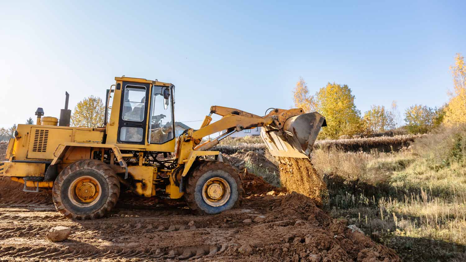
Who do you hire to clear land? Most homeowners choose between a land-clearing specialist and an arborist. This guide will help you pick the right pro.
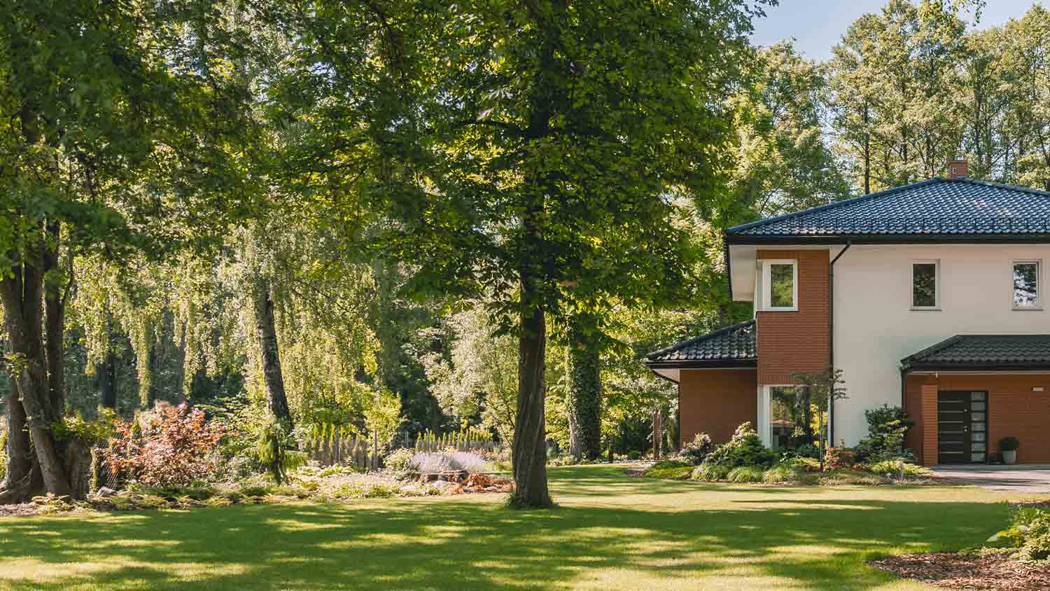
Learn how to hire a forestry mulcher and land-clearing service with these quick and easy tips. Brush clearing has never been easier.