Apex Land Surveying, LLC
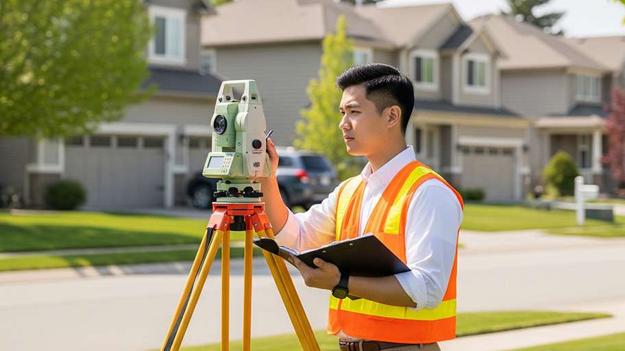
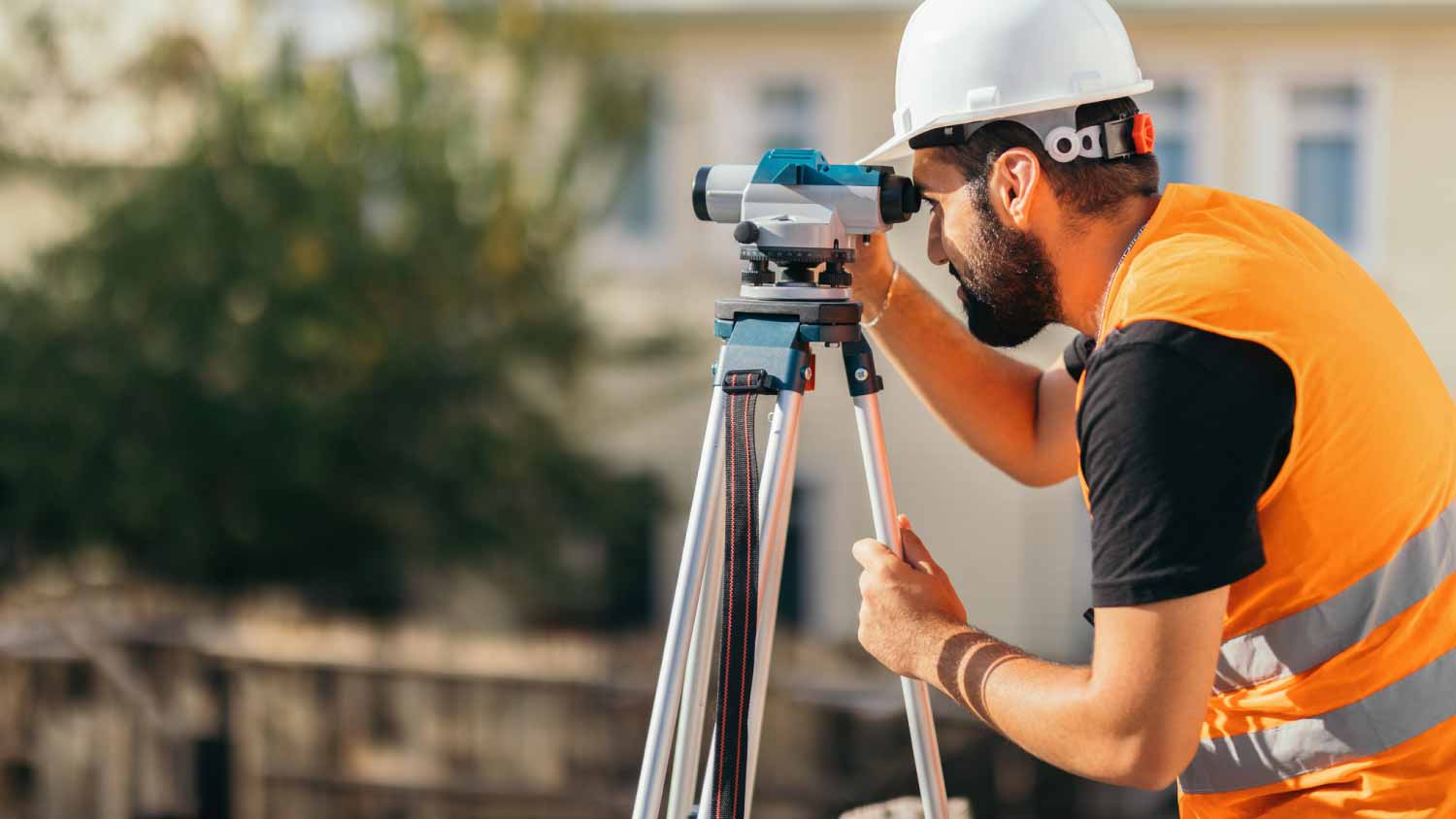
Land Surveyor
Serving Appleton, MN and surrounding areas
Approved
In business since 2024
Free estimates
Credit card accepted
With several years experience, we work hard to bring each customer the best possible service and quality available. We look forward to working with you on your next project. We welcome your questions and thank you for your interest. Call today!
Response time1 day
4 neighbors recently requested a quote