
Get matched with top land surveyors in Mayfield, MI
Enter your zip and get matched with up to 5 pros
Need a pro for your land surveying project in Mayfield, MI?
Select your specific project to find the pro for you.
Verified Reviews for Land Surveying pros in Mayfield, MI
*The Angi rating for Land Surveying companies in Mayfield, MI is a rating based on verified reviews from our community of homeowners who have used these pros to meet their Land Surveying needs.
*The HomeAdvisor rating for Land Surveying companies in Mayfield, MI is a rating based on verified reviews from our community of homeowners who have used these pros to meet their Land Surveying needs.
Last update on November 25, 2025

Find Land surveyors in Mayfield
Northern Michigan Engineering, Inc.
Northern Michigan Engineering, Inc.
Customers say: Quick response
Recommended by 92% of Angi customers
Recommended by 92% of HomeAdvisor customers
15 years of experience
Providing Engineering & Surveying services for all types of land development projects throughout Northern Michigan and the eastern UP. We provide due diligence services, land planning, boundary surveys, topographic surveys, ALTA/ACSM surveys, site/civil engineering, water and sanitary system design and engineering, and construction services. Tell us about your project, and we will share our knowledge and experience with you to help define a scope of services that meets your goals and budget.
"xxxx"
Irvin P on April 2022
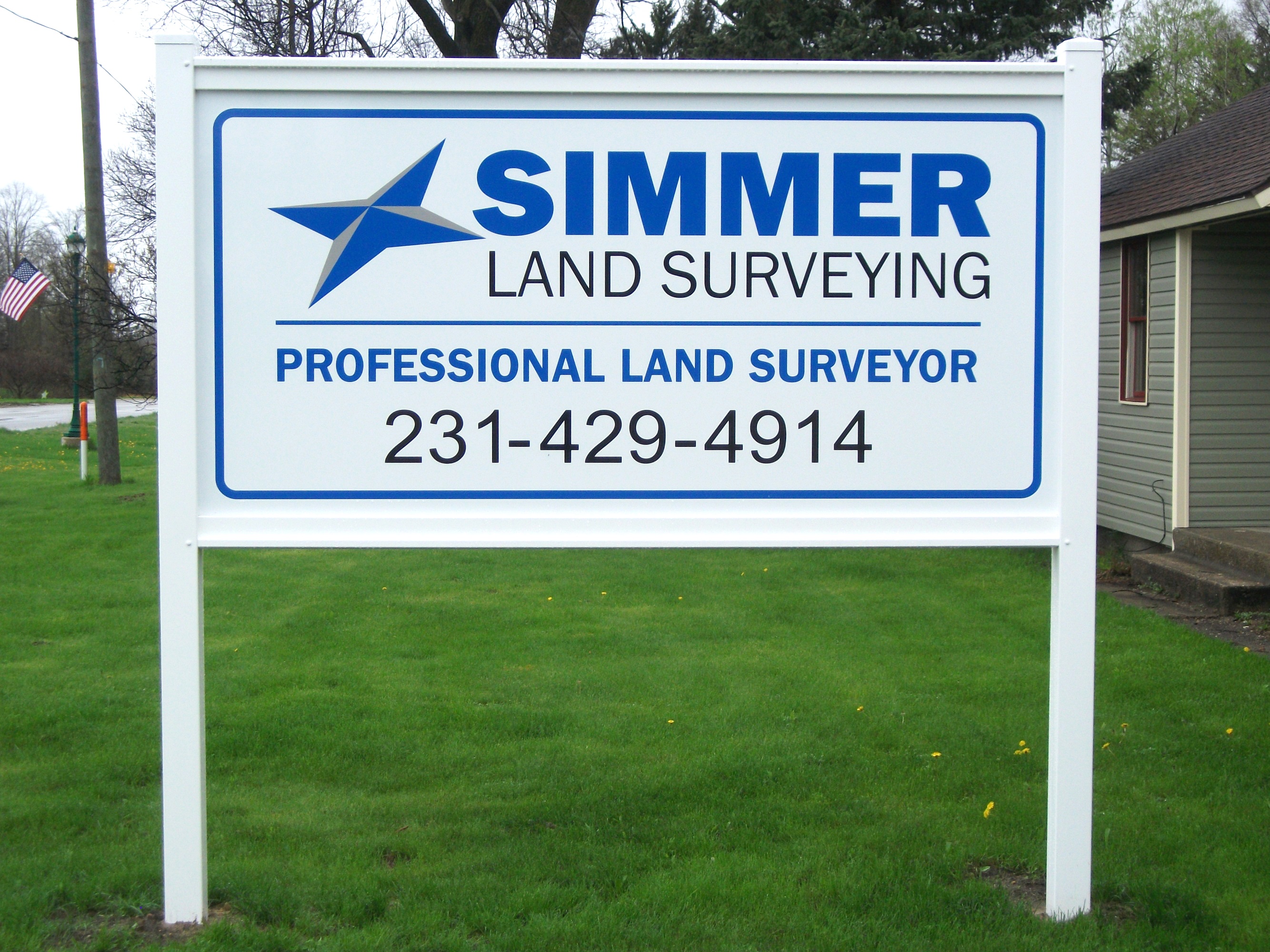
Simmer Land Surveying
Simmer Land Surveying
Simmer Land Surveying offers a wide range of services through out Northern Michigan including Boundary Surveys, Construction Staking, Site Plans, Land Divisions, Topographic Surveys and much more! It is our goal to provide accurate and reliable surveying and mapping services.
Simmer Land Surveying offers a wide range of services through out Northern Michigan including Boundary Surveys, Construction Staking, Site Plans, Land Divisions, Topographic Surveys and much more! It is our goal to provide accurate and reliable surveying and mapping services.
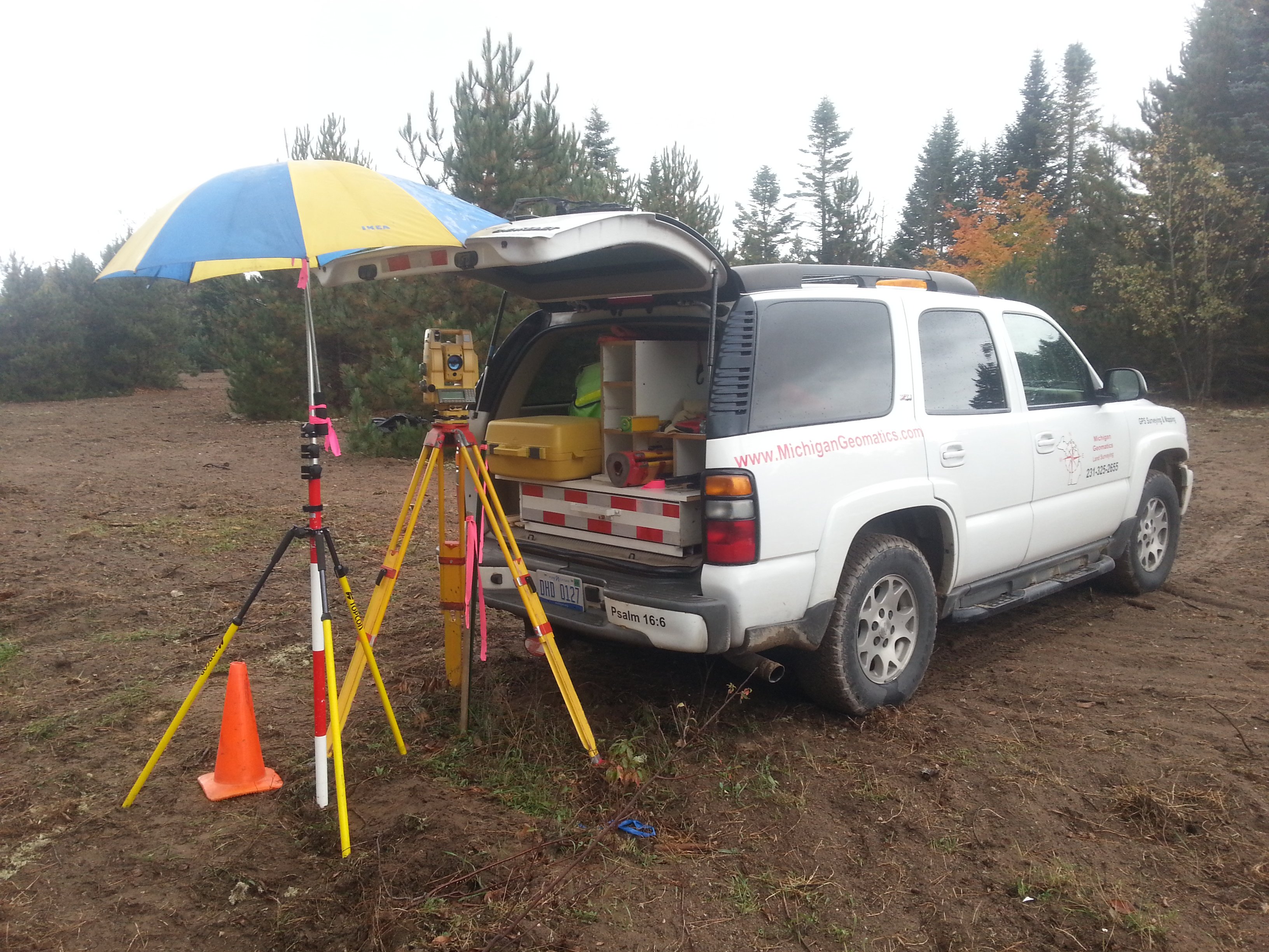
Michigan Geomatics
Michigan Geomatics
Customers say: Quality work
Recommended by 100% of Angi customers
Recommended by 100% of HomeAdvisor customers
Free Estimates on any size land surveying job. 30 Years of Surveying Experience, Owners of R. Max Harris Land Surveying Records. Specializing in Leelanau, Benzie, Grand Traverse, Wexford, Manistee, Kalkaska and Antrim Counties.
Free Estimates on any size land surveying job. 30 Years of Surveying Experience, Owners of R. Max Harris Land Surveying Records. Specializing in Leelanau, Benzie, Grand Traverse, Wexford, Manistee, Kalkaska and Antrim Counties.
Land Surveying questions, answered by experts
The Mayfield, MI homeowners’ guide to land surveying services
From average costs to expert advice, get all the answers you need to get your job done.
 •
•Discover site preparation cost estimates, including average prices, cost factors, and tips to help homeowners budget for their next project.

A land survey can determine your property’s borders and settle property disputes. Learn how much a land survey costs and what can affect the price.

Just bought a plot of land and need to get it build-ready? Learn how much it costs to clear land to gauge your initial budget before you break ground.
 •
•Find out how much an elevation certificate costs, including average prices, cost factors, and tips to save money when hiring a surveyor for your property.

Not sure what kind of property survey you need? Learn about the differences between a land survey vs. a boundary survey to get started.

If you've just been told that you need a land survey to continue your project, what time of land survey do you really need? Here are eight main options.