



Top-rated land clearing pros.

Get matched with top land clearing pros in Sarepta, LA

Enter your zip and get matched with up to 5 pros

Need a pro for your land clearing project in Sarepta, LA?

Select your specific project to find the pro for you.

TRUSTED BY SAREPTA, LA HOMEOWNERS

  • Average homeowner rating star icon4.4
    Average homeowner rating
  • Verified reviews icon12
    Verified land clearing services reviews

Find Land clearing pros in Sarepta

Tri State Land Development, LLC
New to Angi
Building Site - Preparation and ClearingBuilding Site - Preparation and Clearing - For Business

Serving Sarepta, LA and surrounding areas

Approved

In business since 2018

Free estimates

Offers commercial services

With over 5 years of experience, Tri-State Land Development, is dedicated to providing our customers with the best quality and craftsmanship. We are here to build relationships with our customers and communities and to provide our employees with a great place to work. We look forward to working with you.\n

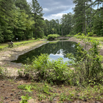
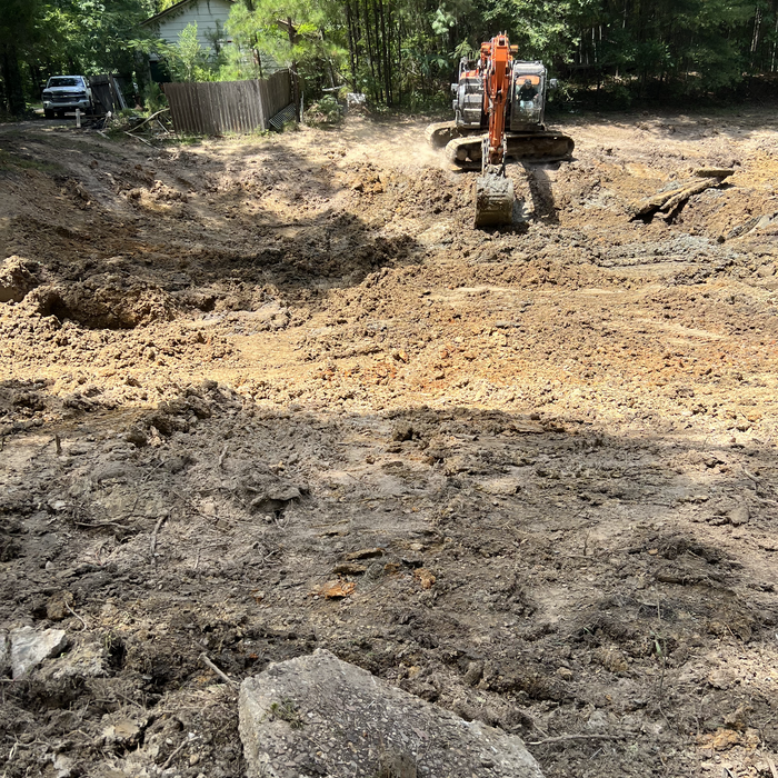
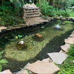
Before work started
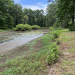
Got all we could pump out
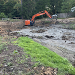
Working the muck to the center and throwing it out
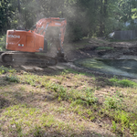
Throwing muck over the levee
Cleaning the bottom up

+21

Response time2 hrs
Showing 1-10 of 40
Land Clearing Services questions, answered by experts

The small lines on the tape measure either indicate inches, fractions of an inch, or centimeters and millimeters. On the imperial unit side (aka the inches side), the longest lines indicate inches, followed by the next shortest lines that indicate a half-inch, and then the quarter, eighth, and sixteenth-inch. On the metric side, the lines break down meters, centimeters, and millimeters.

ALTA/ACSM surveys are the most comprehensive type of land survey and, as such, tend to be the most expensive. These surveys have standardized guidelines and reports and are used in many kinds of real estate transactions to ensure consistent and accurate information is available for properties.

A boundary survey measures the boundary lines of the property, only the length of each property line and their locations. A land survey includes a more in-depth measurement of the property, including the heights and depths of the terrain measured by a topographic survey. A boundary survey is typically the most cost-effective method for marking and measuring property lines.

A land survey provides precise property boundaries, reveals legal encroachments, and identifies rights-of-way, minimizing disputes. Understanding the exact dimensions and features of the property aids in informed decision-making and safeguards the buyer's investment.

When planning for land survey costs, you should consider the following elements as major contributors to the overall cost:

  • Size of your property in terms of acres or square feet

  • Complexity of the terrain in terms of hills, elevation changes, rocks, water, and other features

  • Type of survey you need (boundary survey, topographic survey, or a combination of survey types)

  • Distance traveled for the professional surveyor

The Sarepta, LA homeowners’ guide to land clearing services

From average costs to expert advice, get all the answers you need to get your job done.