
Get matched with top land surveyors in Holly, CO
Enter your ZIP and get matched with up to 5 pros
Need a pro for your land surveying project in Holly, CO?
Select your specific project to find the pro for you.
Find Land surveyors in Holly

CBX Aerial
CBX Aerial
2021 years of experience
Commercial Drone photography services Fully licensed and insured. Part 107 license holder Latest and best equipment available Video and photos shot in 8k hd. Fully professional with years of flying and photography experience.
Commercial Drone photography services Fully licensed and insured. Part 107 license holder Latest and best equipment available Video and photos shot in 8k hd. Fully professional with years of flying and photography experience.

IST Aerial
IST Aerial
1990 years of experience
IST Aerial, a proud division of Integrated Science and Technology, is a full service aerial mapping, remote sensing, and analytics company. We specialize in a variety of applications including construction/surveying, landfills, building inspections, mining, and much more.
IST Aerial, a proud division of Integrated Science and Technology, is a full service aerial mapping, remote sensing, and analytics company. We specialize in a variety of applications including construction/surveying, landfills, building inspections, mining, and much more.
Peak Surveying, Inc
Peak Surveying, Inc
With 29 years of combined experience, Peak Surveying is a trusted local full service land surveying firm serving Western Colorado. No job is too big or too small for our team and we can handle every aspect of surveying with reliability and professionalism. Our services include: • ILCs • Design surveys • Improvement surveys • Boundary surveys • Site plans • Alta surveys • Fast static GPS network control • Aerial surveying We are also an expert source for condominium surveying and plats for Sub-Divisions. From construction staking to topography and expert testimony, we are truly full service. Call us today for more information about how we can complete your project. Western Colorado full service professional land surveying service. Experienced in all aspects including, *improvement surveys & ILC's, Altal, title surveys, topographic surveys house services & condominium surveys, boundary surveys & all forms of construction staking.
With 29 years of combined experience, Peak Surveying is a trusted local full service land surveying firm serving Western Colorado. No job is too big or too small for our team and we can handle every aspect of surveying with reliability and professionalism. Our services include: • ILCs • Design surveys • Improvement surveys • Boundary surveys • Site plans • Alta surveys • Fast static GPS network control • Aerial surveying We are also an expert source for condominium surveying and plats for Sub-Divisions. From construction staking to topography and expert testimony, we are truly full service. Call us today for more information about how we can complete your project. Western Colorado full service professional land surveying service. Experienced in all aspects including, *improvement surveys & ILC's, Altal, title surveys, topographic surveys house services & condominium surveys, boundary surveys & all forms of construction staking.
Emerald Mountain Surveys, Inc
Emerald Mountain Surveys, Inc
Free onsite estimate
Contact us at 970-879-8998 for a business that offers professional land surveying and many other types of surveying services. We service the NW Colorado and SW Wyoming areas.
Contact us at 970-879-8998 for a business that offers professional land surveying and many other types of surveying services. We service the NW Colorado and SW Wyoming areas.
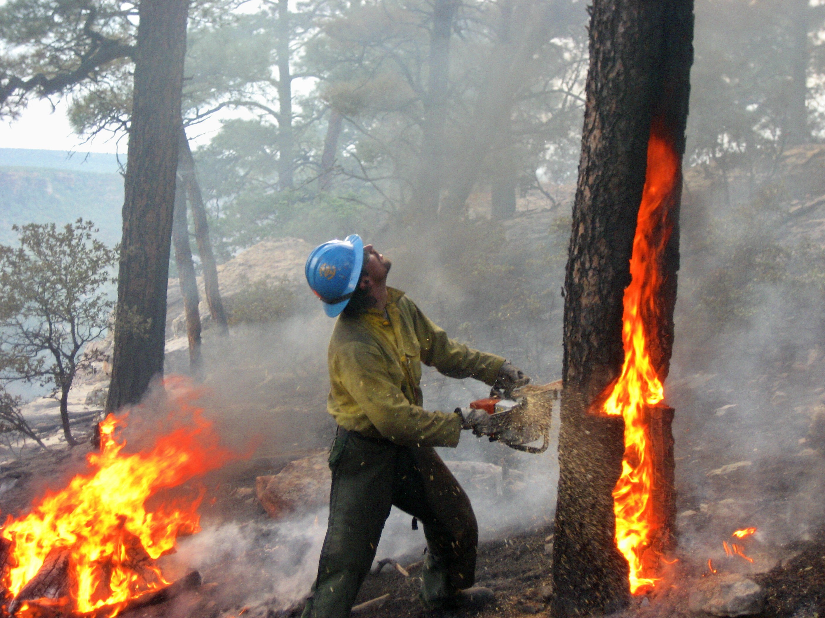
Elwyn Wildfire LLC
Elwyn Wildfire LLC
2014 years of experience
Owned & operated by USFS Hotshot firefighter Fully insured Many references available! Will complete any size job. Machinery available. Based in Eagle County Colorado but willing to travel. Credit cards accepted Tree removal service, vegetation removal, invasive species removal, wildfire mitigation, wildfire mitigation consultation, forest fire mitigation, forest fire consultation, forest restoration, watershed protection
Owned & operated by USFS Hotshot firefighter Fully insured Many references available! Will complete any size job. Machinery available. Based in Eagle County Colorado but willing to travel. Credit cards accepted Tree removal service, vegetation removal, invasive species removal, wildfire mitigation, wildfire mitigation consultation, forest fire mitigation, forest fire consultation, forest restoration, watershed protection
Interstate Survey Group
Interstate Survey Group
Interstate Survey Group is a full-service land surveying company licensed to survey in multiple states. We feature the latest surveying technology including GPS and robotics. We serve private land owners as well as civil engineers, architects, realtors, commercial developers, renewable energy developers, cell site developers and EV charging site developers.
Interstate Survey Group is a full-service land surveying company licensed to survey in multiple states. We feature the latest surveying technology including GPS and robotics. We serve private land owners as well as civil engineers, architects, realtors, commercial developers, renewable energy developers, cell site developers and EV charging site developers.
Boundaries Unlimited Inc.
Boundaries Unlimited Inc.
Since 1998, Boundaries Unlimited Inc. has been offering Western Colorado unparalleled civil engineering services. We pride ourselves on offering an extremely competitively priced and friendly service for our customers. Boundaries Unlimited Inc. specializes in civil engineering, in addition to offering unparalleled land surveying, consultation for land development, in addition to both small scale hydropower plant management and consultation services. We strive to remain in continuous communication with our clients throughout projects. If you're ever in need of any civil engineering, surveying, or consultation services look no further than Boundaries Unlimited Inc. for an established company that's extremely knowledgeable on local regulations and engineering requirements. For your convenience we're available available outside of listed hours by appointment only, and no matter where you're located call us to see if our specialized skill set can be made available to you!
Since 1998, Boundaries Unlimited Inc. has been offering Western Colorado unparalleled civil engineering services. We pride ourselves on offering an extremely competitively priced and friendly service for our customers. Boundaries Unlimited Inc. specializes in civil engineering, in addition to offering unparalleled land surveying, consultation for land development, in addition to both small scale hydropower plant management and consultation services. We strive to remain in continuous communication with our clients throughout projects. If you're ever in need of any civil engineering, surveying, or consultation services look no further than Boundaries Unlimited Inc. for an established company that's extremely knowledgeable on local regulations and engineering requirements. For your convenience we're available available outside of listed hours by appointment only, and no matter where you're located call us to see if our specialized skill set can be made available to you!
Land Surveying questions, answered by experts
The Holly, CO homeowners’ guide to land surveying services
From average costs to expert advice, get all the answers you need to get your job done.
 •
•Discover site preparation cost estimates, including average prices, cost factors, and tips to help homeowners budget for their next project.

A land survey can determine your property’s borders and settle property disputes. Learn how much a land survey costs and what can affect the price.

Just bought a plot of land and need to get it build-ready? Learn how much it costs to clear land to gauge your initial budget before you break ground.
 •
•Find out how much an elevation certificate costs, including average prices, cost factors, and tips to save money when hiring a surveyor for your property.

Boundary surveys and topographic surveys provide important information about a property. Learn the differences between boundary and topographic surveys.

Real estate transactions often require a survey, but who pays for it? Learn who pays for a land survey in most cases and some exceptions to the norm.
- Granada, CO Land surveyors
- May Valley, CO Land surveyors
- Lamar, CO Land surveyors
- Mcclave, CO Land surveyors
- Eads, CO Land surveyors
- Walsh, CO Land surveyors
- Springfield, CO Land surveyors
- Las Animas, CO Land surveyors
- Cheyenne Wells, CO Land surveyors
- Swink, CO Land surveyors
- Rocky Ford, CO Land surveyors
- Hugo, CO Land surveyors
- Burlington, CO Land surveyors
- Fairmount, CO Land surveyors
- La Junta, CO Land surveyors
What do you need done? We’ll find top pros.
- 🌱 "Mow a small front yard"
- 🛠 "Fix a leaking pipe under the sink"
- 🏠 "Repair shingles on an asphalt roof"