

R&R Dirtworks
Building Site - Preparation and ClearingBuilding Site - Preparation and Clearing - For Business
Serving Gosnell, AR and surrounding areas

 4.8
 12
*The Angi rating for Land Clearing companies in Gosnell, AR is a rating based on verified reviews from our community of homeowners who have used these pros to meet their Land Clearing needs.
*The HomeAdvisor rating for Land Clearing companies in Gosnell, AR is a rating based on verified reviews from our community of homeowners who have used these pros to meet their Land Clearing needs.
Last update on April 24, 2026
Serving Gosnell, AR and surrounding areas
Free estimates
Emergency services offered
"It was apparent they were very skilled. They quickly dropped the huge limbs without a scratch on the house, fence or sheds surrounding the tree. They arrived on time and cleaned the area to my satisfaction before leaving. And they were competetively priced! I can't say enough good things about this company."

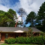
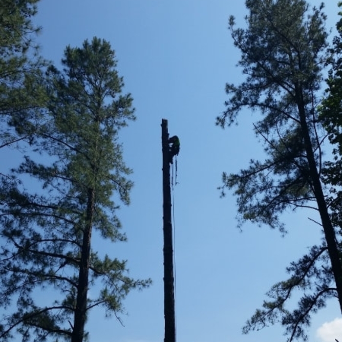
+8
Serving Gosnell, AR and surrounding areas
We offer a variety of hauling services. We guarantee your satisfaction, and we won’t leave until the job is done right. We pride ourselves on the quality of work we provide, while delivering great customer service! Check out all the services we offer below and call -or- click to schedule an estimate today! \n
Serving Gosnell, AR and surrounding areas
In business since 2008
Free estimates
Credit card accepted
"Very professional provides quality work."
Serving Gosnell, AR and surrounding areas
In business since 2003
Free estimates
Offers commercial services
"This was the most unbelievable positive experience we have ever had in a construction project."
Serving Gosnell, AR and surrounding areas
In business since 2023
Credit card accepted
Offers commercial services
Elitelawnlandmanagement.com
Serving Gosnell, AR and surrounding areas
Serving Gosnell, AR and surrounding areas
In business since 2018
Free estimates
Offers commercial services
Merrimack Construction Company proudly serves it's customers with pride, integrity and attention to the details that matter most to you. This is one of the many things that sets us apart from the rest. We are locally owned and operated. Give us a call today!
Serving Gosnell, AR and surrounding areas
In business since 1995
Free estimates
Caradine Construction Company has been serving the citizens of Arkansas since 1996, with pride. No job is too big and no job is too small. We have a commitment to giving you the quality you expect at the price you deserve.
From average costs to expert advice, get all the answers you need to get your job done.
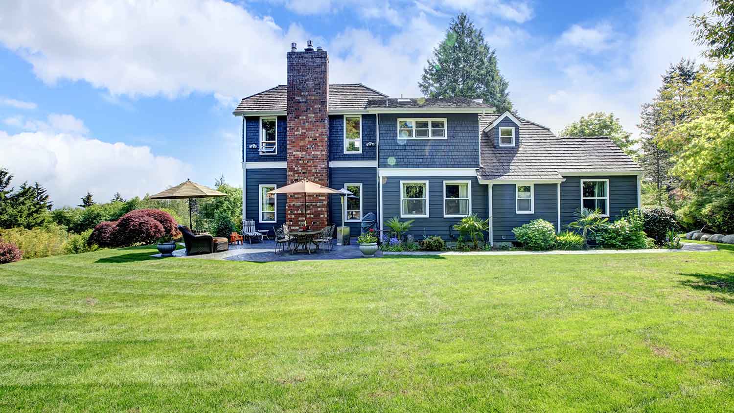
Just bought a plot of land and need to get it build-ready? Learn how much it costs to clear land to gauge your initial budget before you break ground.
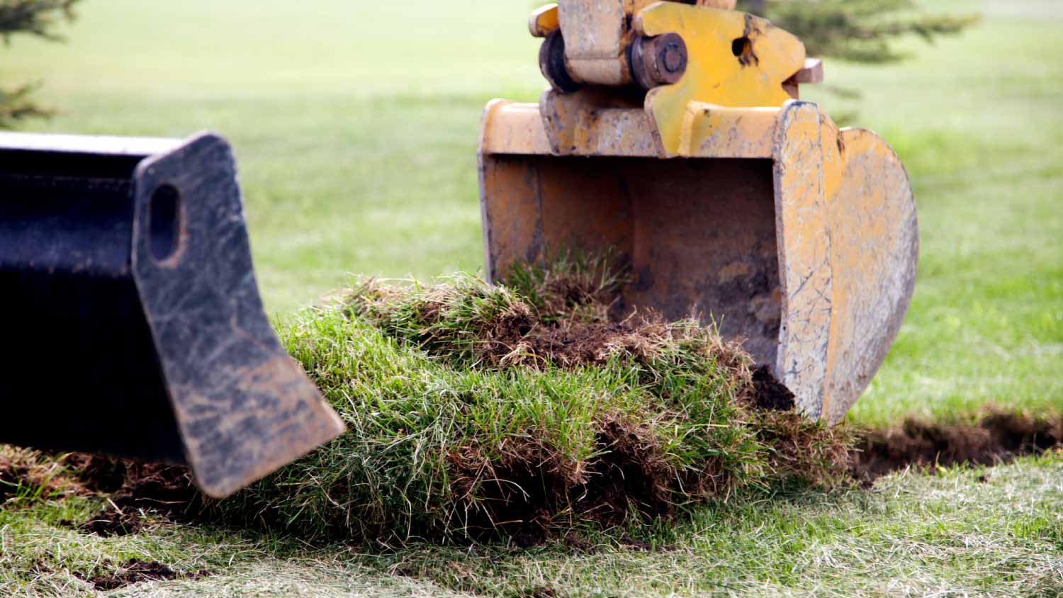
Discover site preparation cost estimates, including average prices, cost factors, and tips to help homeowners budget for their next project.
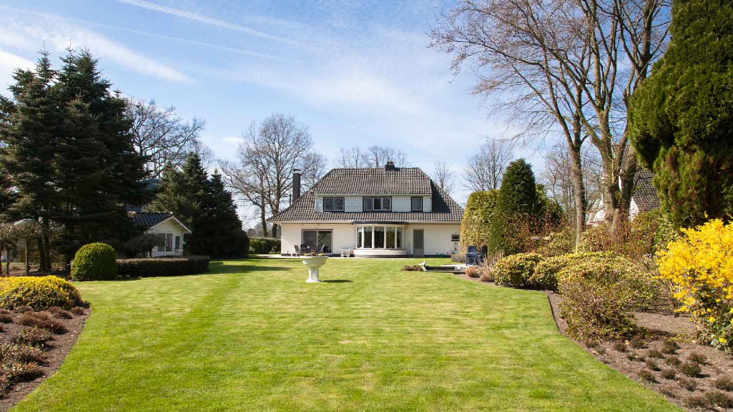
Removing an old lawn is often necessary to plant new grass or build a new outdoor structure. Find out what to budget for your lawn removal cost.
Planning a new build or major landscaping? Learn what land clearing and preparation services are, average costs, and how to hire the right local pro.
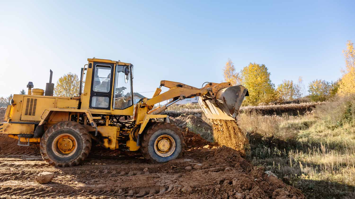
Who do you hire to clear land? Most homeowners choose between a land-clearing specialist and an arborist. This guide will help you pick the right pro.
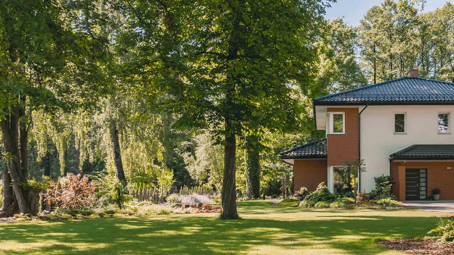
Learn how to hire a forestry mulcher and land-clearing service with these quick and easy tips. Brush clearing has never been easier.