
Get matched with top land surveyors in Cowarts, AL
Enter your zip and get matched with up to 5 pros
Need a pro for your land surveying project in Cowarts, AL?
Select your specific project to find the pro for you.
Verified Reviews for Land Surveying pros in Cowarts, AL
*The Angi rating for Land Surveying companies in Cowarts, AL is a rating based on verified reviews from our community of homeowners who have used these pros to meet their Land Surveying needs.
*The HomeAdvisor rating for Land Surveying companies in Cowarts, AL is a rating based on verified reviews from our community of homeowners who have used these pros to meet their Land Surveying needs.
Last update on December 08, 2025
Find Land surveyors in Cowarts
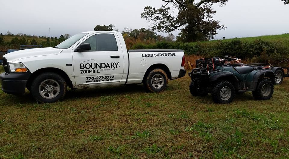
Boundary Zone - Miramar Beach
Boundary Zone - Miramar Beach
21 years of experience
We have a team of Professional Surveyors that provide residential surveying and construction staking. Our Specialties include Boundary Surveys, ALTA (American Land Title Association), Topographic and Tree Surveys, Existing Conditions, As-built, Site Maps, Plot Surveys, Construction Surveys, Drone Mapping, & Elevation Certificates. We take pride in serving our clients with accurate surveys that are orientated to customer service.
We have a team of Professional Surveyors that provide residential surveying and construction staking. Our Specialties include Boundary Surveys, ALTA (American Land Title Association), Topographic and Tree Surveys, Existing Conditions, As-built, Site Maps, Plot Surveys, Construction Surveys, Drone Mapping, & Elevation Certificates. We take pride in serving our clients with accurate surveys that are orientated to customer service.
Goodwin Lawncare
Goodwin Lawncare
General Lawn care, Excavator and Skid steer work, Dirt Work, Tree and stump removal, Land Clearing, Storm Clean Up, Trenching and Bush Hogging
General Lawn care, Excavator and Skid steer work, Dirt Work, Tree and stump removal, Land Clearing, Storm Clean Up, Trenching and Bush Hogging
Land Surveying questions, answered by experts
The Cowarts, AL homeowners’ guide to land surveying services
From average costs to expert advice, get all the answers you need to get your job done.
 •
•Discover site preparation cost estimates, including average prices, cost factors, and tips to help homeowners budget for their next project.

A land survey can determine your property’s borders and settle property disputes. Learn how much a land survey costs and what can affect the price.

Just bought a plot of land and need to get it build-ready? Learn how much it costs to clear land to gauge your initial budget before you break ground.
 •
•Find out how much an elevation certificate costs, including average prices, cost factors, and tips to save money when hiring a surveyor for your property.

Not sure what kind of property survey you need? Learn about the differences between a land survey vs. a boundary survey to get started.

Real estate transactions often require a survey, but who pays for it? Learn who pays for a land survey in most cases and some exceptions to the norm.
- Taylor, AL Land surveyors
- Dothan, AL Land surveyors
- Rehobeth, AL Land surveyors
- Kinsey, AL Land surveyors
- Pansey, AL Land surveyors
- Headland, AL Land surveyors
- Midland City, AL Land surveyors
- Newville, AL Land surveyors
- Slocomb, AL Land surveyors
- Newton, AL Land surveyors
- Graceville, FL Land surveyors
- Greenwood, FL Land surveyors
- Abbeville, AL Land surveyors
- Hartford, AL Land surveyors
- Blakely, GA Land surveyors
- Level Plains, AL Land surveyors
- Ozark, AL Land surveyors
- Donalsonville, GA Land surveyors
- Cottondale, FL Land surveyors
- Shorterville, AL Land surveyors
- Marianna, FL Land surveyors