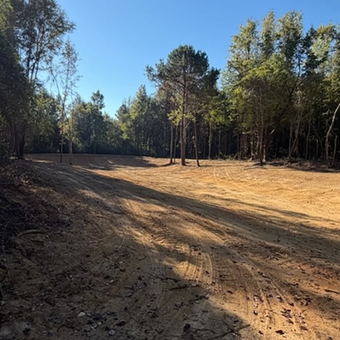




Top-rated land clearing pros.

Get matched with top land clearing pros in Baileyton, AL

Enter your zip and get matched with up to 5 pros

Need a pro for your land clearing project in Baileyton, AL?

Select your specific project to find the pro for you.

TRUSTED BY BAILEYTON, AL HOMEOWNERS

  • Average homeowner rating star icon4.6
    Average homeowner rating
  • Verified reviews icon223
    Verified land clearing services reviews

Find Land clearing pros in Baileyton

Avatar for Natdawgs hauling &excavating llc
Natdawgs hauling &excavating llc
5.0(
1
)
Building Site - Preparation and Clearing

Serving Baileyton, AL and surrounding areas

Approved

Free estimates

Emergency services offered

Small jobs welcome

I’ve been doing tree and skid steer work for about 20 years, customer satisfaction is my goal. The job is not complete until you, the customer, are happy. I am a perfectionist, I like and want stuff done right! I am willing to travel almost anywhere within the state. I am highly efficient in a skid steer and working out of a bucket truck..

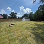
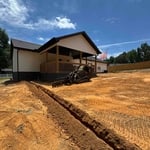
Baker Farms
Wendling property
Teresa’s property
20 neighbors recently requested a quote
...
Showing 1-10 of 78
Land Clearing Services questions, answered by experts

If you can’t find any records online, you’ll need to contact your county clerk’s office to do further research. They should have property records on file, or can at least point you in the right direction of who to contact. You can also speak with your neighbors about when their houses were built because they were likely built around the same time.

Land survey reports have a boatload of information relevant to several scenarios. Here are the types of information contained with a survey, though it depends on your chosen type of land survey. Exact boundaries and dimensions of a given property General topography, including both natural and artificial landmarks Location of utility fixtures, like water mains Confirmation of any easements or encroachments on a piece of property Assessment of land elevation to buy flood insurance Updated information to add to a pre-existing property map

Depending on the type of land survey, the report will mark the boundaries of your property, the topographical changes of the landscape, as well as major natural and added structures to the plot. A more detailed survey, like an as-built survey, will note the measurements of the structures and landscape following major construction. A topographic survey will also help your contractor determine the cost of land development projects.

This is fairly rare, but sometimes the local government or a group like a historical society will label a tree as a landmark, or historical item. These designations almost always come with a small, on-site plaque for identification, but you should also be able to look up protected trees in your area on a city website or similar list. If the tree in question is a landmark, call your local government and ask how to proceed before making any plans.

The small lines on the tape measure either indicate inches, fractions of an inch, or centimeters and millimeters. On the imperial unit side (aka the inches side), the longest lines indicate inches, followed by the next shortest lines that indicate a half-inch, and then the quarter, eighth, and sixteenth-inch. On the metric side, the lines break down meters, centimeters, and millimeters.

The Baileyton, AL homeowners’ guide to land clearing services

From average costs to expert advice, get all the answers you need to get your job done.