Get matched with top land surveyors in Centerville, PA
Enter your ZIP and get matched with up to 5 pros
Need a pro for your land surveying project in Centerville, PA?
Verified Reviews for Land Surveying pros in Centerville, PA
*The Angi rating for Land Surveying companies in Centerville, PA is a rating based on verified reviews from our community of homeowners who have used these pros to meet their Land Surveying needs.
*The HomeAdvisor rating for Land Surveying companies in Centerville, PA is a rating based on verified reviews from our community of homeowners who have used these pros to meet their Land Surveying needs.
Last update on December 01, 2025
Find Land surveyors in Centerville
Cross Forestry Mulching and Land Clearing
Cross Forestry Mulching and Land Clearing
Cross Forestry Mulching and Land Clearing is a new and innovative land clearing company that uses a eco-friendly process mulching the trees and brush into fine mulch giving the ground healthy nutrients. With forestry mulching it is easier on the ground causing no mud or ruts. You can selectively clear your property leaving any desirable trees or bushes. We do commercial, residential, and rural properties. Contact us today to get a quote.
Cross Forestry Mulching and Land Clearing is a new and innovative land clearing company that uses a eco-friendly process mulching the trees and brush into fine mulch giving the ground healthy nutrients. With forestry mulching it is easier on the ground causing no mud or ruts. You can selectively clear your property leaving any desirable trees or bushes. We do commercial, residential, and rural properties. Contact us today to get a quote.

GTS Consultants
GTS Consultants
GTS Consultants has earned a reputation as a Minority Owned and Operated business since 1997. GTS Consultants are known for: -being highly regarded-with warm referrals -client responsiveness -professional surveyors -providing excellent communication -quick turnaround -competitive prices We have gained the respect and confidence of our clients by providing technical excellence and quality services throughout New York, New Jersey and Pennsylvania. Our corporate headquarters is located in the beautiful city of Newark, New Jersey. We look forward to hearing from and working with you soon.
GTS Consultants has earned a reputation as a Minority Owned and Operated business since 1997. GTS Consultants are known for: -being highly regarded-with warm referrals -client responsiveness -professional surveyors -providing excellent communication -quick turnaround -competitive prices We have gained the respect and confidence of our clients by providing technical excellence and quality services throughout New York, New Jersey and Pennsylvania. Our corporate headquarters is located in the beautiful city of Newark, New Jersey. We look forward to hearing from and working with you soon.

Oil Valley Hardwoods
Oil Valley Hardwoods
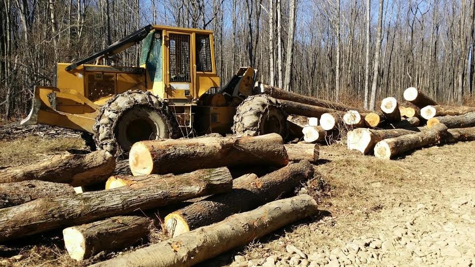
Buyers of Standing Timber on properties of five acres or more. Usually having five to ten subcontractors hired to perform logging operations. Timber is always paid in full before any logging operations are started.
Buyers of Standing Timber on properties of five acres or more. Usually having five to ten subcontractors hired to perform logging operations. Timber is always paid in full before any logging operations are started.
A. R. E. A. Surveying
A. R. E. A. Surveying
A. R. E. A. Surveying is a newly formed sole proprietorship. Owner has over 18 years of surveying experience meeting a variety of surveying needs.
A. R. E. A. Surveying is a newly formed sole proprietorship. Owner has over 18 years of surveying experience meeting a variety of surveying needs.
David Laird Associates
David Laird Associates
Laird Associates has been in the land surveying and engineering business for over 60 years, serving clients throughout Pennsylvania. We have 4 full-time survey crews and a staff of professional land surveyors and engineers to tackle any project large or small.
"Team came on time as scheduled. Drawing was made and three copies certified for pickup. Rebar boundary corner points identified on drawings and flagged on property."
Dan K on May 2018
The Centerville, PA homeowners’ guide to land surveying services
From average costs to expert advice, get all the answers you need to get your job done.
 •
•Discover site preparation cost estimates, including average prices, cost factors, and tips to help homeowners budget for their next project.

A land survey can determine your property’s borders and settle property disputes. Learn how much a land survey costs and what can affect the price.

Just bought a plot of land and need to get it build-ready? Learn how much it costs to clear land to gauge your initial budget before you break ground.

Boundary surveys and topographic surveys provide important information about a property. Learn the differences between boundary and topographic surveys.

Not sure what kind of property survey you need? Learn about the differences between a land survey vs. a boundary survey to get started.

Wondering whether you need a land survey or a plot plan? Learn about the differences between the two, when to do each, and what information they provide.
- Guys Mills, PA Land surveyors
- Titusville, PA Land surveyors
- Union City, PA Land surveyors
- Meadville, PA Land surveyors
- Blooming Valley, PA Land surveyors
- Cooperstown, PA Land surveyors
- Waterford, PA Land surveyors
- Corry, PA Land surveyors
- Pleasantville, PA Land surveyors
- Rouseville, PA Land surveyors
- Oil City, PA Land surveyors
- Sugarcreek, PA Land surveyors
- Reno, PA Land surveyors
- Seneca, PA Land surveyors
- Tidioute, PA Land surveyors
- Polk, PA Land surveyors
- Tionesta, PA Land surveyors
- Hadley, PA Land surveyors

