
Get matched with top land surveyors in Fallon, NV
Enter your zip and get matched with up to 5 pros
Need a pro for your land surveying project in Fallon, NV?
Select your specific project to find the pro for you.
Find Land surveyors in Fallon
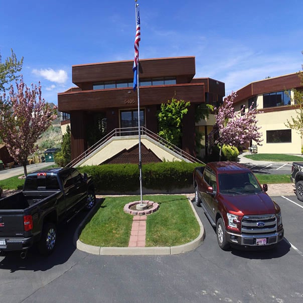
Summit Engineering Corporation
Summit Engineering Corporation
1978 years of experience
Summit Engineering is a full service Civil Engineering, Survey and Geotechnical Material Testing and Inspection firm that has been providing service across Northern Nevada for 39 years. We strive to enhance our clients success through the delivery of innovative, economical and timely solutions to all types of engineering projects while honoring western traditions, the values of our community and state, and respecting the environment.
Summit Engineering is a full service Civil Engineering, Survey and Geotechnical Material Testing and Inspection firm that has been providing service across Northern Nevada for 39 years. We strive to enhance our clients success through the delivery of innovative, economical and timely solutions to all types of engineering projects while honoring western traditions, the values of our community and state, and respecting the environment.
Land Surveying questions, answered by experts
The Fallon, NV homeowners’ guide to land surveying services
From average costs to expert advice, get all the answers you need to get your job done.
 •
•Discover site preparation cost estimates, including average prices, cost factors, and tips to help homeowners budget for their next project.

A land survey can determine your property’s borders and settle property disputes. Learn how much a land survey costs and what can affect the price.

Just bought a plot of land and need to get it build-ready? Learn how much it costs to clear land to gauge your initial budget before you break ground.

What is a property line? Find out everything you need to know about property lines, from easements to where to build a fence and how land surveys work.

If you've just been told that you need a land survey to continue your project, what time of land survey do you really need? Here are eight main options.

Knowing where your property lines are can help settle a dispute with a neighbor and even prevent an ugly legal battle. This guide will help you draw the line.
- Silver Springs, NV Land surveyors
- Stagecoach, NV Land surveyors
- Dayton, NV Land surveyors
- Virginia City, NV Land surveyors
- Spanish Springs, NV Land surveyors
- Sparks, NV Land surveyors
- Lockwood, NV Land surveyors
- Mccarran, NV Land surveyors
- Vc Highlands, NV Land surveyors
- Reno, NV Land surveyors
- Sun Valley, NV Land surveyors
- Wellington, NV Land surveyors
- Mound House, NV Land surveyors
- Washoe Valley, NV Land surveyors
- Carson City, NV Land surveyors
- Minden, NV Land surveyors
- Verdi, NV Land surveyors
- Incline Village, NV Land surveyors
- Genoa, NV Land surveyors
- Gardnerville, NV Land surveyors
- Kings Beach, CA Land surveyors
- Zephyr Cove, NV Land surveyors
- Tahoe Vista, CA Land surveyors