
Top-rated land clearing pros.

Best land clearing pros near Rougemont, NC

Enter your zip and get matched with up to 5 pros

Need a pro for your land clearing project in Rougemont, NC?

Select your specific project to find the pro for you.

TRUSTED BY ROUGEMONT, NC HOMEOWNERS

  • Average homeowner rating star icon4.7
    Average homeowner rating
  • Verified reviews icon504
    Verified land clearing services reviews

Top-Rated Land clearing pros in Rougemont - Updated Nov 2026

Avatar for Evans LandWork
Evans LandWork
5.0(
5
)
Building Site - Preparation and ClearingBuilding Site - Preparation and Clearing - For Business

Serving Rougemont, NC and surrounding areas

Approved

Super Service Award Winner

In business since 2010

Free estimates

Offers commercial services

"I hired Evans Landwork to repair the drainage issues on my gravel driveway, and the results were outstanding. He quickly identified the underlying problems, explained the plan clearly, and got to work with real precision. The grading, reshaping, and drainage improvements were done with obvious skill — water now flows exactly where it should, and the driveway looks better than it has in years. Their professionalism, attention to detail, and pride in his work truly set him apart. If you need reliable, high‑quality driveway or drainage repair, I highly recommend Evans Landwork."
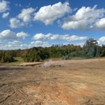
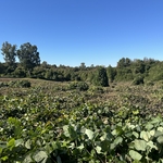
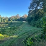
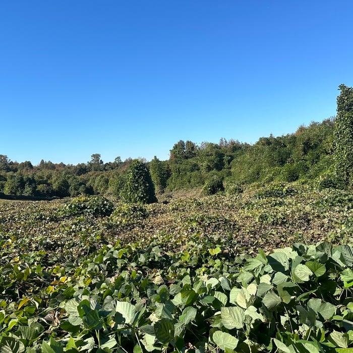
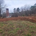
Clearing of kudzu
Clearing of kudzu
Clearing of kudzu
Clearing of kudzu
Clearing of kudzu

+8

Response time2 days
41 neighbors recently requested a quote
WKG LLC
New to Angi
Building Site - Preparation and ClearingBuilding Site - Preparation and Clearing - For Business

Serving Rougemont, NC and surrounding areas

Approved

Free estimates

Small jobs welcome

Offers commercial services

Our company is a grading company with a staff of years of knowledge and experience. We clear land, develop lots, perform the grading on mono slab, crawl, stem slab and basement foundations. We waterproof foundations. We can handle all of your erosion control needs. We also do fine grading as well as drainage work. If you need an expert opinion or have any questions regarding any of these tasks we perform, we can meet you on site and discuss the best option for your needs.

4 neighbors recently requested a quote
Avatar for 4A Dirtwork
4A Dirtwork
New to Angi
Building Site - Preparation and Clearing

Serving Rougemont, NC and surrounding areas

Approved

Free estimates

Emergency services offered

Small jobs welcome

I’m Hunter Stephens owner of 4A Dirtworks the name came from my 4 daughters all their names begin with A. I do every job like it is my own because every job is a reflection of me. Me and my guys are professional and respectful and always aim to please our customers.

House demo
House demo
...
Showing 1-10 of 72
Land Clearing Services FAQs, answered by experts

A land survey includes the layout of a single property, including precise measurements and to-scale drawings of boundary lines, land improvements, and sometimes other features, like topography and drainage information. A plat map includes the layouts and boundary lines of several adjacent plots and basic structure measurements. Surveys are normally more valuable for homeowners and buyers, and plat maps are for governmental use.

The small lines on the tape measure either indicate inches, fractions of an inch, or centimeters and millimeters. On the imperial unit side (aka the inches side), the longest lines indicate inches, followed by the next shortest lines that indicate a half-inch, and then the quarter, eighth, and sixteenth-inch. On the metric side, the lines break down meters, centimeters, and millimeters.

Professional well contractors may use electromagnetic mapping to look for places with a high likelihood of water. Water access can vary significantly, even on the same property, so it can be difficult to know where to drill if you don’t have specialized tools to look for water.

A boundary survey measures the boundary lines of the property, only the length of each property line and their locations. A land survey includes a more in-depth measurement of the property, including the heights and depths of the terrain measured by a topographic survey. A boundary survey is typically the most cost-effective method for marking and measuring property lines.

Depending on property size and complexity, usually 1-3 weeks.

The Rougemont, NC homeowners’ guide to land clearing services

From average costs to expert advice, get all the answers you need to get your job done.