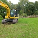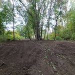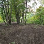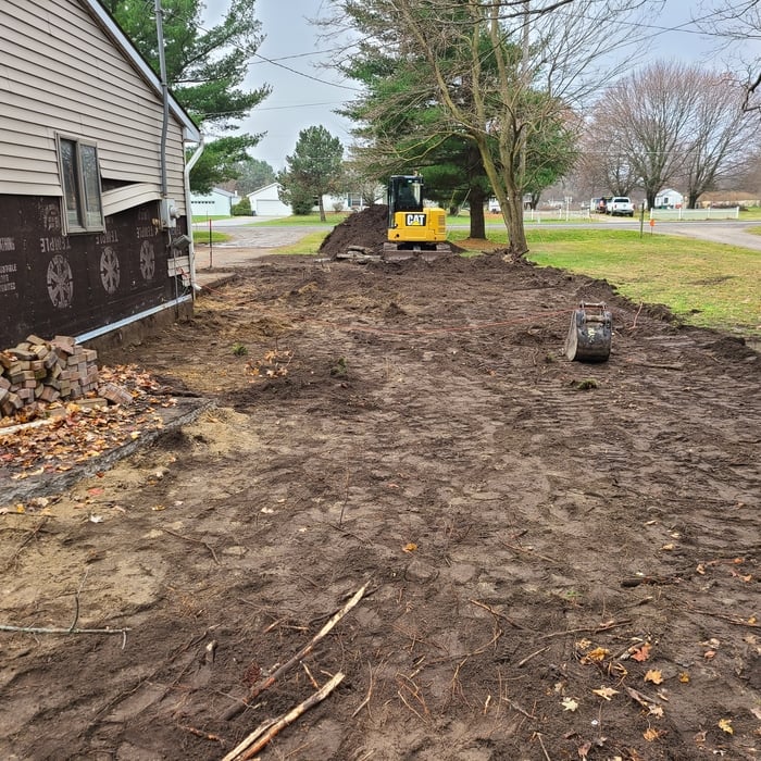




Top-rated land clearing pros.

Get matched with top land clearing pros in Fenwick, MI

Enter your zip and get matched with up to 5 pros

Need a pro for your land clearing project in Fenwick, MI?

Select your specific project to find the pro for you.

TRUSTED BY FENWICK, MI HOMEOWNERS

  • Average homeowner rating star icon4.5
    Average homeowner rating
  • Verified reviews icon39
    Verified land clearing services reviews

Find Land clearing pros in Fenwick

Earthworm Dozing and Excavating, Inc.
4.7(
35
)
Building Site - Preparation and ClearingBuilding Site - Preparation and Clearing - For Business

Serving Fenwick, MI and surrounding areas

In business since 1996

Free estimates

Emergency services offered

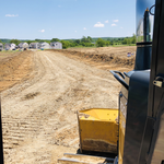
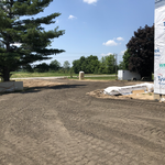
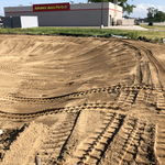
"Earthworm Dozing graded and filled my driveway with crushed asphalt and did a wonderful job. The communication from the company is phenomenal and courteous. Even when Dave was coming out to give me a quote, he called because he was going to be 5 minutes late. This is definitely a company that wants their customers' to be happy. Everything was done when promised and done well. Kudos to Earthworm Dozing and Excavating, Inc."
1728153
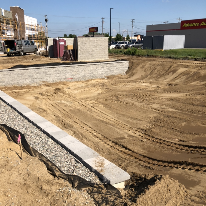
Large block retaining walls
1728154
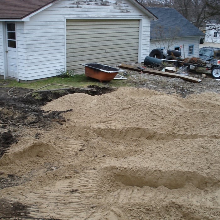
 Awaiting final landscaping
1728155

+9

Recommended by96%of homeowners
Showing 1-10 of 22
Land Clearing Services questions, answered by experts

A land survey includes the layout of a single property, including precise measurements and to-scale drawings of boundary lines, land improvements, and sometimes other features, like topography and drainage information. A plat map includes the layouts and boundary lines of several adjacent plots and basic structure measurements. Surveys are normally more valuable for homeowners and buyers, and plat maps are for governmental use.
A boundary survey measures the boundary lines of the property, only the length of each property line and their locations. A land survey includes a more in-depth measurement of the property, including the heights and depths of the terrain measured by a topographic survey. A boundary survey is typically the most cost-effective method for marking and measuring property lines.

ALTA/ACSM surveys are the most comprehensive type of land survey and, as such, tend to be the most expensive. These surveys have standardized guidelines and reports and are used in many kinds of real estate transactions to ensure consistent and accurate information is available for properties.

Depending on property size and complexity, usually 1-3 weeks.

Surveys completed by licensed surveyors can be recorded with a local surveying records office, and in most cases, they will be. Filing survey reports categorize them as legal documents, and they can be used whenever legal documentation of your property’s boundaries is needed. While you’re not required to file survey documents, it’s a good idea to do so. 

The Fenwick, MI homeowners’ guide to land clearing services

From average costs to expert advice, get all the answers you need to get your job done.