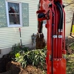
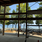
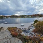
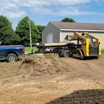
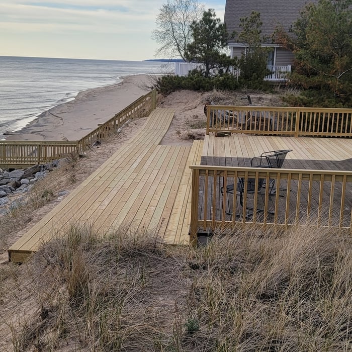
KJ Excavating
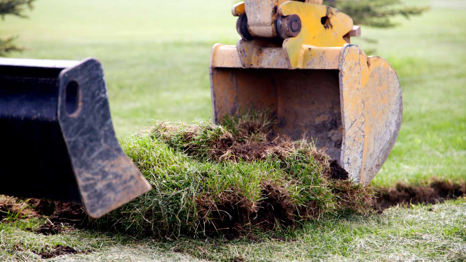
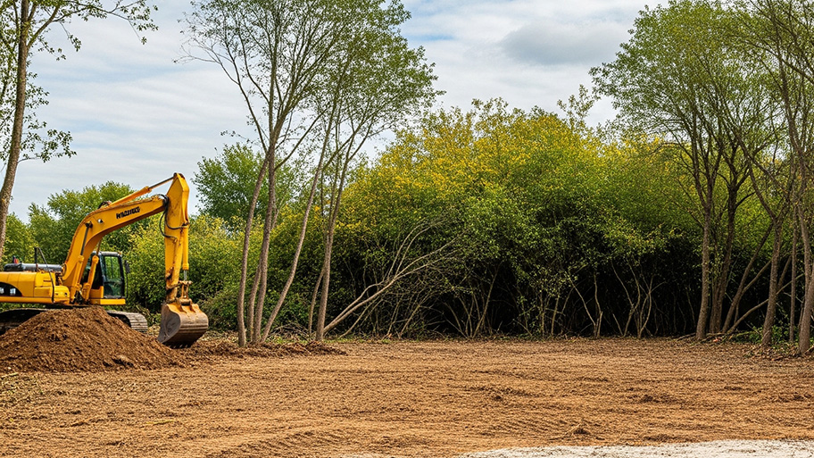
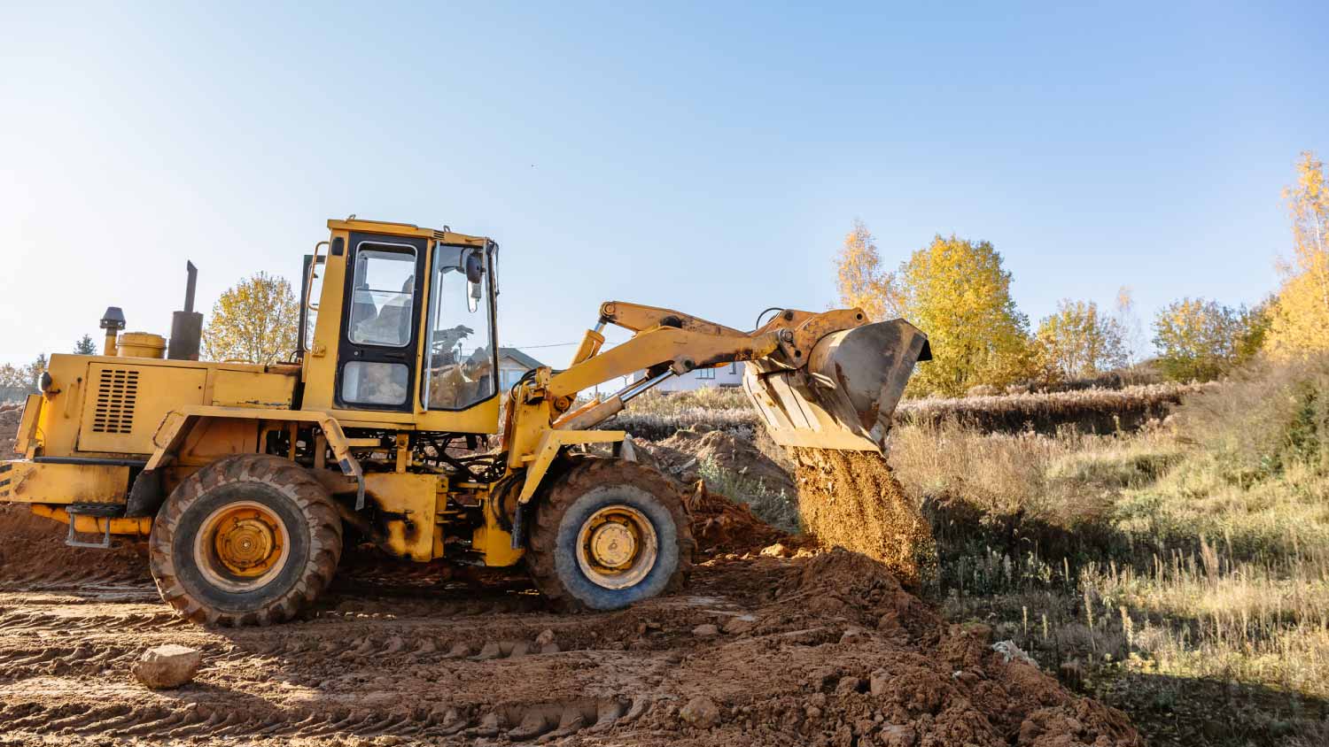
Building Site - Preparation and Clearing - For Business
Serving Custer, MI and surrounding areas
Approved
In business since 2010
Free estimates
Emergency services offered
"Great to work with, showed up on time and got the job done!"


+3
Response time2 days
3 neighbors recently requested a quote
Recommended by100%of homeowners