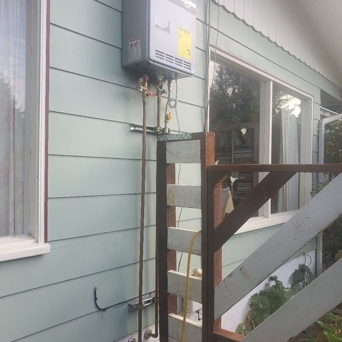
"They had to cut into our buliding, but put it all back together, before they left. There were two other systems that had previously been damaged, the guys fixed these, too."
I was born and raised in a local family run Landscape / Construction/Excavation Contracting Business. My communication skills along with full customer interaction with every aspect of the project , makes each job run smoothly. From Grading out a rural gravel road or installing a Septic system or concrete walkways patios complete custom Landscapes with water features Night lighting Fencing Chain Link or Wood . Free Estimates
Im a hard working honest man with an eye for detail. Ive been running my business on the comercial/industrial side for almost 7 years. Jack of all trades metal fabrication and install is my primary feild.
Land Clearing Services questions, answered by experts
If a buyer pays for a survey, the surveyor they hired will only provide results to them. It’s up to the buyer whether they share the survey results with the seller or not, even if they ultimately walk away from the deal. It’s considered good faith to share the results with the seller, though, especially if you back out of the deal, as the seller can then provide that survey to future interested parties.
Building a road on a slope requires careful planning and will normally require a drainage system underneath to prevent flooding and damage to the road over time. Your professional may lengthen your road to create switchbacks if the slope directly to your home is too steep, as there are regulations for maximum road slope. The drainage system will help prevent runoff from the higher side of the slope from damaging the asphalt or concrete. Keep in mind that building a road on a slope isn’t a good DIY project, as a lot can go wrong.
A land survey provides precise property boundaries, reveals legal encroachments, and identifies rights-of-way, minimizing disputes. Understanding the exact dimensions and features of the property aids in informed decision-making and safeguards the buyer's investment.
Yes, they assess topography and potential risks related to flooding.
A boundary survey measures the boundary lines of the property, only the length of each property line and their locations. A land survey includes a more in-depth measurement of the property, including the heights and depths of the terrain measured by a topographic survey. A boundary survey is typically the most cost-effective method for marking and measuring property lines.
The Hoopa, CA homeowners’ guide to land clearing services
From average costs to expert advice, get all the answers you need to get your job done.