
Get matched with top land surveyors in Pottsville, AR
Enter your ZIP and get matched with up to 5 pros
Need a pro for your land surveying project in Pottsville, AR?
Select your specific project to find the pro for you.
Find Land surveyors in Pottsville
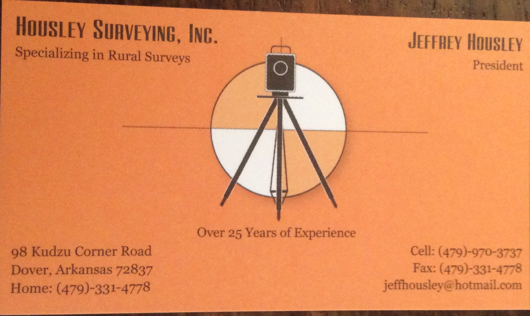
Housley's Surveying, inc.
Housley's Surveying, inc.
38 years of experience
I am a Registered Professional Land Surveyor in the state of Arkansas. I've been in business for over 30 years and specialize in rural boundary surveys.
I am a Registered Professional Land Surveyor in the state of Arkansas. I've been in business for over 30 years and specialize in rural boundary surveys.
Ingalls Dirt Works, Inc.
Ingalls Dirt Works, Inc.
12 years of experience
Ingalls Dirt Works, Inc.
Ingalls Dirt Works, Inc.
Lawson Land Surveying
Lawson Land Surveying
13 years of experience
Lawson Land Surveying provides boundary surveying to the Russellville, AR and the surrounding area.
Lawson Land Surveying provides boundary surveying to the Russellville, AR and the surrounding area.
JKJ ARCHITECTS
JKJ ARCHITECTS
20 years of experience
JKJ Architects, an award winning firm, works with its clients from site analysis through to construction administration on all types of projects including commercial and residential which comprise universities, offices, schools, banks, churches, non-profit, parks, industrial, sustainable projects, master plans, historic preservation projects, remodels and tenant build-outs, interior design, renderings and building models – basically any type of project you require can be designed by the firm. We welcome your consultation.
JKJ Architects, an award winning firm, works with its clients from site analysis through to construction administration on all types of projects including commercial and residential which comprise universities, offices, schools, banks, churches, non-profit, parks, industrial, sustainable projects, master plans, historic preservation projects, remodels and tenant build-outs, interior design, renderings and building models – basically any type of project you require can be designed by the firm. We welcome your consultation.
Covey Rise Engineering
Covey Rise Engineering
Customers say: Quick response
Recommended by 100% of Angi customers
Recommended by 100% of HomeAdvisor customers
Covey Rise Engineering Co., Inc. was founded in 1985 in Menifee, Arkansas by Mark D. Ashley. Mark has over 35 years of engineering experience and specializes in residential and commercial land surveying. Covey Rise Engineering has the tools to get the job done and is well known in the state as a consistent producer of honest, quality work. Covey Rise Engineering was founded on Christian principals, goals, and values.
Covey Rise Engineering Co., Inc. was founded in 1985 in Menifee, Arkansas by Mark D. Ashley. Mark has over 35 years of engineering experience and specializes in residential and commercial land surveying. Covey Rise Engineering has the tools to get the job done and is well known in the state as a consistent producer of honest, quality work. Covey Rise Engineering was founded on Christian principals, goals, and values.
Land Surveying questions, answered by experts
The Pottsville, AR homeowners’ guide to land surveying services
From average costs to expert advice, get all the answers you need to get your job done.
 •
•Discover site preparation cost estimates, including average prices, cost factors, and tips to help homeowners budget for their next project.

A land survey can determine your property’s borders and settle property disputes. Learn how much a land survey costs and what can affect the price.

Just bought a plot of land and need to get it build-ready? Learn how much it costs to clear land to gauge your initial budget before you break ground.
 •
•Find out how much an elevation certificate costs, including average prices, cost factors, and tips to save money when hiring a surveyor for your property.

Not sure what kind of property survey you need? Learn about the differences between a land survey vs. a boundary survey to get started.

Knowing where your property lines are can help settle a dispute with a neighbor and even prevent an ugly legal battle. This guide will help you draw the line.
What do you need done? We’ll find top pros.
- 🌱 "Mow a small front yard"
- 🛠 "Fix a leaking pipe under the sink"
- 🏠 "Repair shingles on an asphalt roof"