
Get matched with top land surveyors in Stronghurst, IL
Enter your zip and get matched with up to 5 pros
Need a pro for your land surveying project in Stronghurst, IL?
Select your specific project to find the pro for you.
Find Land surveyors in Stronghurst
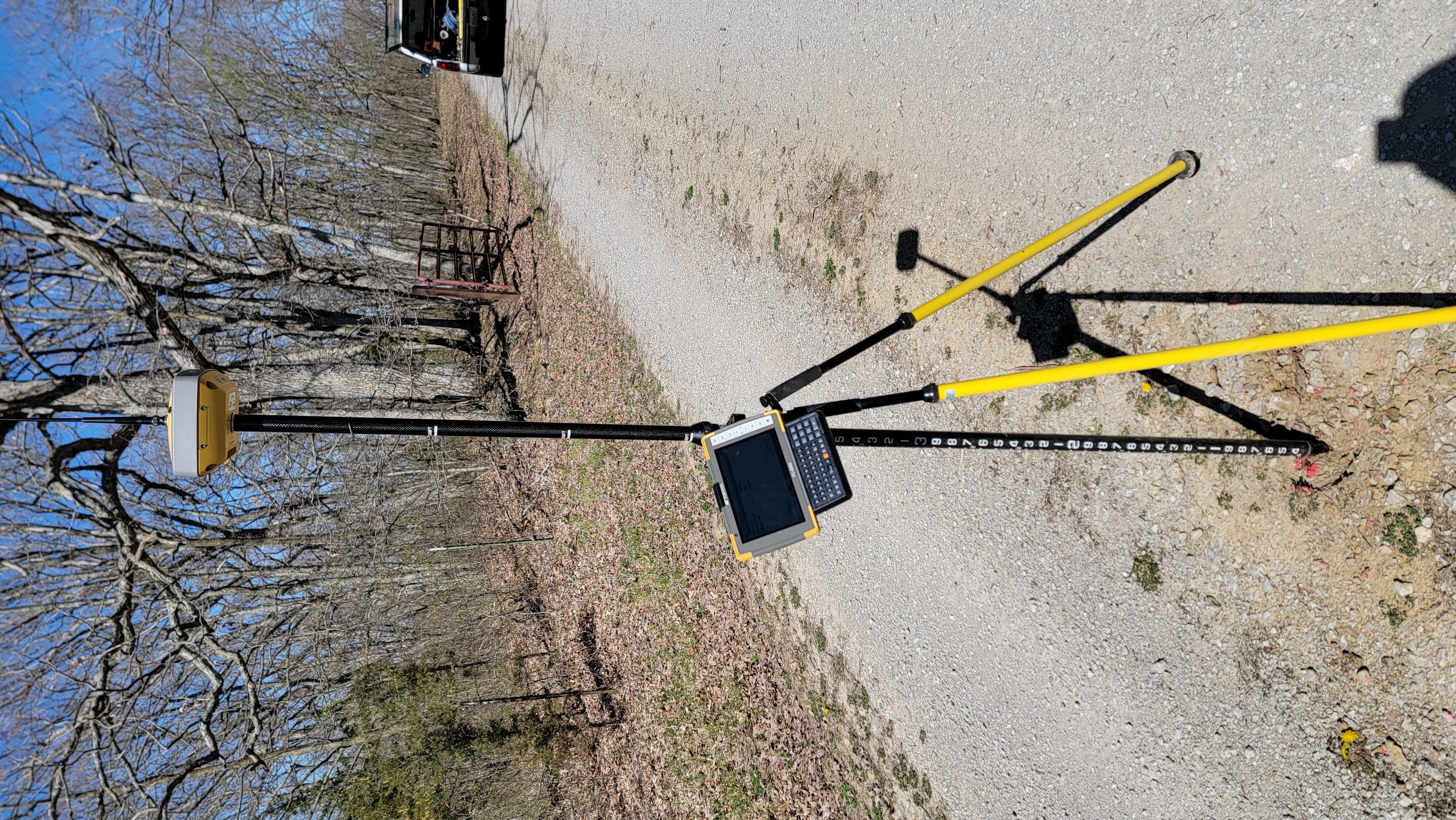
Midwest Land Surveying
Midwest Land Surveying
6 years of experience
20 years experience Residential, commercial and ALTA Surveying. Construction staking and renewable energy projects.
20 years experience Residential, commercial and ALTA Surveying. Construction staking and renewable energy projects.
GC Designs
GC Designs
Customers say: Quick response
Recommended by 100% of Angi customers
Recommended by 100% of HomeAdvisor customers
A landscaping and concrete business
A landscaping and concrete business
Piggush Engineering, Inc.
Piggush Engineering, Inc.
Thank you for considering Piggush Engineering, Inc. We offer many Civil Engineering and Surveying services to residents of Kankakee County, IL and the surrounding region. Our goal is to provide the highest quality service to our customers in everything we do from site engineering design, floodplain management, stormwater management, LEED design, to grant writing & administration, as well as construction bidding and administration. Call us today for more information. (815) 614-3447
Thank you for considering Piggush Engineering, Inc. We offer many Civil Engineering and Surveying services to residents of Kankakee County, IL and the surrounding region. Our goal is to provide the highest quality service to our customers in everything we do from site engineering design, floodplain management, stormwater management, LEED design, to grant writing & administration, as well as construction bidding and administration. Call us today for more information. (815) 614-3447
Todd Surveying
Todd Surveying
44 years of experience
Todd Surveying, in Yorkville, Illinois, is the areas premier land surveying company since 1981, serving all of Yorkville, Aurora, Naperville, Oswego and surrounding areas. We provide our clients and project partners with a wide range of services including: plat of surveys, boundary surveys, ALTA surveys, topographical surveys, farm surveys, site plans, construction staking, and more. Our company prides itself on providing a cost effective land surveying service. We strive in making prompt turnarounds for all of our clients and project partners. Please contact Todd Surveying today!
Todd Surveying, in Yorkville, Illinois, is the areas premier land surveying company since 1981, serving all of Yorkville, Aurora, Naperville, Oswego and surrounding areas. We provide our clients and project partners with a wide range of services including: plat of surveys, boundary surveys, ALTA surveys, topographical surveys, farm surveys, site plans, construction staking, and more. Our company prides itself on providing a cost effective land surveying service. We strive in making prompt turnarounds for all of our clients and project partners. Please contact Todd Surveying today!
CURL & ASSOC INC
CURL & ASSOC INC
44 years of experience
We are a small civil engineering firm located in Centralia, Illinois. Having started in 1981 with only one employee, Curl & Associates, Inc. has steadily grown and now has 5 employees. Because of our firm's size, we rely on the latest technological equipment to increase our production capability. We have been using CAD software for nearly 20 years. We have 2 separate surveying total stations and data collectors. This allows us to provide two independent survey crews, if necessary. All of our software is compatible with AutoCAD. Since the Illinois Department of Transportation is one of our clients, we also use Microstation Version 8, Version 8i, and Geopack software. We provide a variety of construction services which include construction staking and construction testing (i.e. concrete and compaction testing).
We are a small civil engineering firm located in Centralia, Illinois. Having started in 1981 with only one employee, Curl & Associates, Inc. has steadily grown and now has 5 employees. Because of our firm's size, we rely on the latest technological equipment to increase our production capability. We have been using CAD software for nearly 20 years. We have 2 separate surveying total stations and data collectors. This allows us to provide two independent survey crews, if necessary. All of our software is compatible with AutoCAD. Since the Illinois Department of Transportation is one of our clients, we also use Microstation Version 8, Version 8i, and Geopack software. We provide a variety of construction services which include construction staking and construction testing (i.e. concrete and compaction testing).
KLINGNER & ASSOCIATES, PC
KLINGNER & ASSOCIATES, PC
Customers say: Quick response
Recommended by 100% of Angi customers
Recommended by 100% of HomeAdvisor customers
Full-service, multi-disciplinary firm offering engineering, architectural, environmental, surveying, geotechnical and construction material testing services to companies, municipalities and industries of Illinois, Missouri and Iowa. We specialize in drainage district consulting, levee design and rehabilitation, pump station design, rehabilitation and testing services.
Full-service, multi-disciplinary firm offering engineering, architectural, environmental, surveying, geotechnical and construction material testing services to companies, municipalities and industries of Illinois, Missouri and Iowa. We specialize in drainage district consulting, levee design and rehabilitation, pump station design, rehabilitation and testing services.
Land Surveying questions, answered by experts
The Stronghurst, IL homeowners’ guide to land surveying services
From average costs to expert advice, get all the answers you need to get your job done.
 •
•Discover site preparation cost estimates, including average prices, cost factors, and tips to help homeowners budget for their next project.

A land survey can determine your property’s borders and settle property disputes. Learn how much a land survey costs and what can affect the price.

Just bought a plot of land and need to get it build-ready? Learn how much it costs to clear land to gauge your initial budget before you break ground.

What is a property line? Find out everything you need to know about property lines, from easements to where to build a fence and how land surveys work.

Wondering whether you need a land survey or a plot plan? Learn about the differences between the two, when to do each, and what information they provide.

If you've just been told that you need a land survey to continue your project, what time of land survey do you really need? Here are eight main options.
- La Harpe, IL Land surveyors
- Oquawka, IL Land surveyors
- Blandinsville, IL Land surveyors
- Roseville, IL Land surveyors
- Dallas City, IL Land surveyors
- Monmouth, IL Land surveyors
- Colchester, IL Land surveyors
- Macomb, IL Land surveyors
- Bushnell, IL Land surveyors
- Avon, IL Land surveyors
- Abingdon, IL Land surveyors
- Nauvoo, IL Land surveyors
- Alexis, IL Land surveyors
- Carthage, IL Land surveyors
- Galesburg, IL Land surveyors
- Hamilton, IL Land surveyors