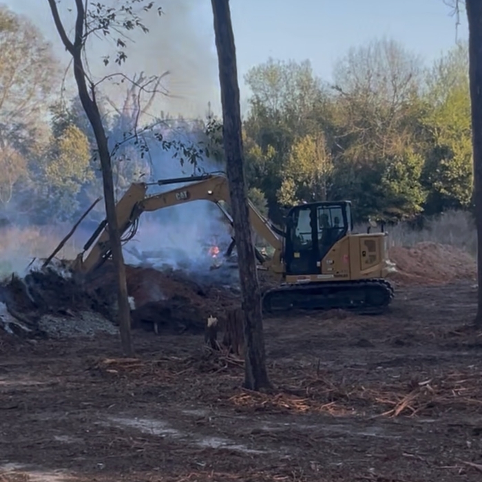


Top-rated land clearing pros.

Best land clearing pros near Eastpoint, FL

Enter your zip and get matched with up to 5 pros

Need a pro for your land clearing project in Eastpoint, FL?

Select your specific project to find the pro for you.

Top-Rated Land clearing pros in Eastpoint - Updated Nov 2026

Avatar for Dirtboss Utilities, LLC
Dirtboss Utilities, LLC
New to Angi
Building Site - Preparation and Clearing

Serving Eastpoint, FL and surrounding areas

Approved

Free estimates

Small jobs welcome

Offers commercial services

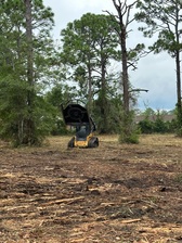
DIRTBOSS UTILITIES, LLC will provide grading, land clearing, erosion and sediment control, stormwater runoff management, and general site preparation services. We provide support services to contractors and property owners with efficient, insured site work improvements. We bring 30 years of experience to every job, quality you can trust, timelines you can depend on, and pricing that works for you.

Avatar for Gilbert's Land Development, LLC
Gilbert's Land Development, LLC
New to Angi
Building Site - Preparation and ClearingBuilding Site - Preparation and Clearing - For Business

Serving Eastpoint, FL and surrounding areas

Approved

In business since 2025

Free estimates

Emergency services offered

We take pride in our company's reliability, great communication, integrity, and quality work. We are experts in our trade and will do our best to keep you as educated as we can on your particular task or project. We look forward to earning your business! \n

26 neighbors recently requested a quote
Showing 1-10 of 34
Land Clearing Services FAQs, answered by experts

ALTA/ACSM surveys are the most comprehensive type of land survey and, as such, tend to be the most expensive. These surveys have standardized guidelines and reports and are used in many kinds of real estate transactions to ensure consistent and accurate information is available for properties.

A professional land surveyor ensures accurate property boundaries and prevent legal disputes.

A boundary survey measures the boundary lines of the property, only the length of each property line and their locations. A land survey includes a more in-depth measurement of the property, including the heights and depths of the terrain measured by a topographic survey. A boundary survey is typically the most cost-effective method for marking and measuring property lines.

Depending on the type of land survey, the report will mark the boundaries of your property, the topographical changes of the landscape, as well as major natural and added structures to the plot. A more detailed survey, like an as-built survey, will note the measurements of the structures and landscape following major construction. A topographic survey will also help your contractor determine the cost of land development projects.

There are a couple of ways you can determine the depth of your well. One method is to use a device called a well sounder. This tool has a long measuring tape containing a sensor to alert you once the end reaches the water. 

Or you can DIY it by using a long tape measure with a half-filled bottle of water attached to it. Lower the tape measure into your well. Once you feel tension on the tape, you’ll know the bottle has reached your static water level. This will give you an approximate idea of your well’s depth.

The Eastpoint, FL homeowners’ guide to land clearing services

From average costs to expert advice, get all the answers you need to get your job done.